EXPLORE CAPPADOCIA
Best Cappadocia Hiking Trails 2026: Routes, Maps, Distance & Difficulty
Choose the best Cappadocia hiking trail with 2026 route guidance for Rose, Red, Pigeon, Love, Zemi, Sword, Ihlara and more, including distance, difficulty, safety and transport.
Updated: September 25, 2026
Quick answer: For a first Cappadocia hike, start with Rose + Red Valleys if you want the strongest all-round landscape, Pigeon Valley for a practical Goreme–Uchisar walk, Love Valley for fairy chimneys, Sword Valley for a shorter adventure, and Ihlara Valley for a longer green gorge day. Choose by terrain, daylight and return transport—not only by kilometres.
How to use this hiking guide
This page is the main Cappadocia hiking decision hub. It helps you choose which trail fits your time, fitness, transport and confidence. Detailed trail pages then handle exact route options, entrances and one-way transport. Cappadocia valleys have multiple entrances and informal side paths, so no article should be treated as a replacement for a current offline map and local conditions.
All Hiking & Photography Guides → Compare Cappadocia Valleys →
Which Cappadocia hike should you choose?
| Trail | Approx. distance | Time | Difficulty | Best for | Start / finish idea |
|---|---|---|---|---|---|
| Rose + Red | 3–8 km+ | 2–5 hr | Moderate | Best first hike | Goreme/Cavusin/Red Valley road depending route |
| Pigeon Valley | 3–4 km | 1.5–3 hr | Easy–moderate | Town-to-town walk | Goreme ↔ Uchisar |
| Love Valley | 3–5 km+ | 1.5–3 hr+ | Moderate | Fairy chimneys | Lower trail / White Valley connection |
| Zemi Valley | 5–7 km | 2.5–4 hr | Moderate | Quieter central route | Upper entrance → Goreme area |
| Sword Valley | 2–3 km | 1–2 hr | Easy–moderate | Short adventure | Near Goreme Open Air Museum road |
| Meskendir Valley | 4–6 km | 2–3 hr | Moderate | Connected valley routes | Often linked with Rose/Red |
| Ihlara Valley | 3–14 km | 1.5–5+ hr | Easy–moderate | Green gorge & churches | Main entrance / Belisirma / other access |
| Cavusin–Bozdag | 5–8 km | 3–5 hr | Moderate–hard | Confident hikers | Cavusin ridge routes |
| Gomeda–Uzengi | 6–10 km | 3–5 hr | Moderate | Repeat visitors | Mustafapasa area |
Distances are planning ranges. The exact number changes with entrance, exit, detours and connected valleys.
Cappadocia hiking orientation map
This lightweight map is for orientation only, not trail navigation. Save a current offline route before entering any valley.
Best first hike
Pigeon
Love
Quieter valleys
Ihlara
Independent vs guide
Difficulty
Weather
Safety
FAQ
Best first Cappadocia hike: Rose + Red Valleys
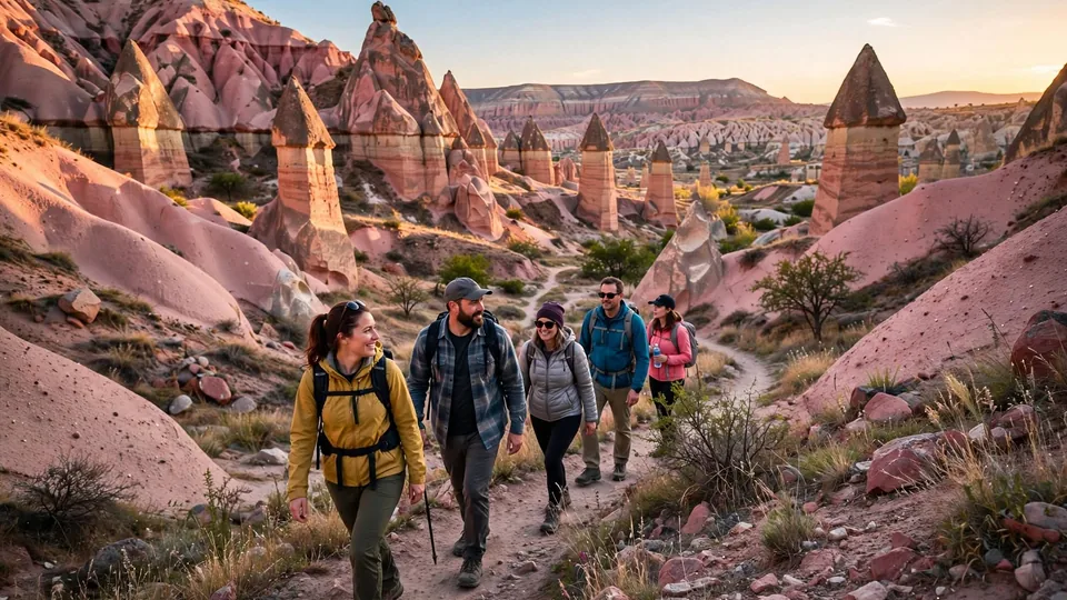
Rose and Red Valleys give the strongest first introduction to Cappadocia on foot because they combine coloured rock layers, cave spaces, orchards, churches and wide evening views. A short Rose section can take around two to three hours, while a linked Rose–Red loop can reach roughly 7–8 kilometres and take three to five hours.
The main difficulty is not extreme elevation; it is route choice. Paths split, some entrances are known by several names and a sunset viewpoint is not the same thing as entering the valley floor. First-time hikers should choose one defined route with a known finish rather than trying to connect every nearby valley.
Best town-to-town hike: Pigeon Valley
Pigeon Valley links Goreme and Uchisar, making it one of the easiest hikes to fit around sightseeing. The route is commonly around 3–4 kilometres depending on the entrance and usually needs about 1.5–3 hours before castle, lunch or photo stops.
Goreme → Uchisar
You finish with a climb toward Uchisar. This works well if you want lunch or Uchisar Castle afterwards, then return by taxi.
Uchisar → Goreme
Generally finishes lower and can feel easier overall, although loose downhill surfaces can be harder on knees.
The valley is known for dovecotes cut into the rock, but the practical advantage is its start-and-finish towns. That makes return transport much easier than a remote one-way route.
Best fairy-chimney hike: Love Valley
Love Valley can mean several different experiences: an upper road viewpoint, a short walk among the tall formations, or a longer route through White Valley toward Uchisar. Do not ask a driver only for “Love Valley” and assume you will arrive at the hiking entrance.
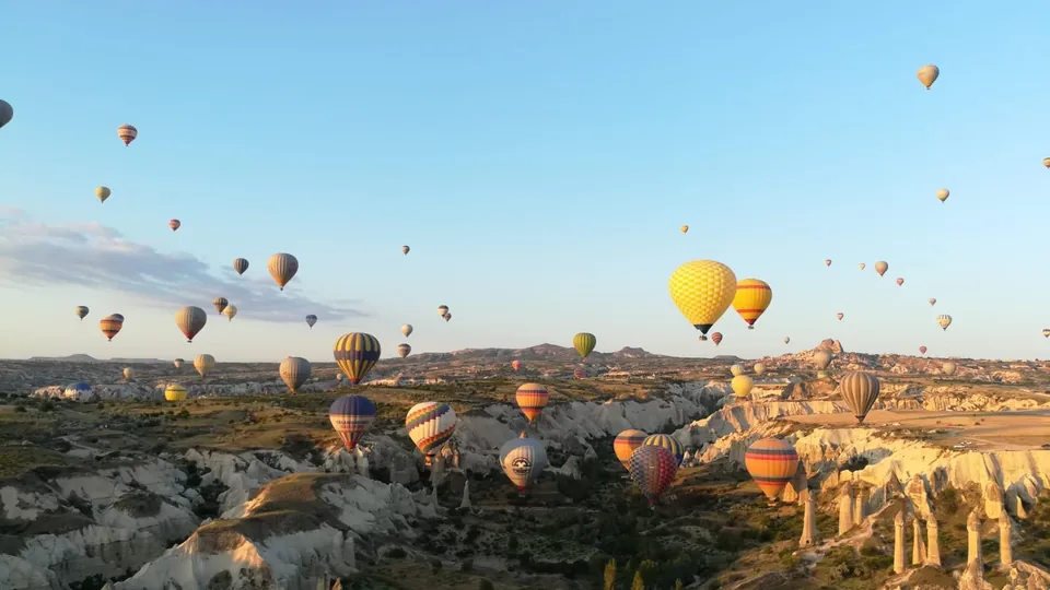
A short valley walk is enough for many first-time visitors. Confident hikers can continue toward White Valley and Uchisar, while a complete Love–White–Pigeon circuit can become a long day. Sunrise balloon views are possible, but wind controls the balloon path and no trail can guarantee close balloons.
Quieter hiking near Goreme: Zemi, Sword and Meskendir
Zemi Valley
Best for: a quieter half-day walk.
Expect orchards, high rock walls, cave spaces and narrower sections. Zemi can feel more enclosed than Rose or Red. After rain, mud and water can make narrow passages slower. The upper entrance can be confusing, so use a saved track.
Sword Valley
Best for: a short hike near Goreme.
Sword Valley is compact and useful when you do not want a half-day route. Narrow formations and cave spaces make it feel adventurous despite the short distance. Do not confuse “short” with paved or fully marked.
Meskendir Valley
Best for: linking into Rose/Red.
Meskendir has tunnels, cliff sections and connections into the central hiking network. It works better for walkers who understand whether they are making a loop or finishing far from their vehicle.
These three valleys deserve more caution with navigation than a simple roadside viewpoint. Use the Hiking & Photography Guides hub for the dedicated Zemi/Sword/Meskendir comparison.
Best long nature day: Ihlara Valley
Ihlara is not a central Cappadocia valley. It is a substantial road journey from Goreme and should be planned as a southern day rather than a quick morning hike. Its river, trees, tall gorge walls and rock-cut churches create a very different landscape from Rose, Red or Love Valley.
You do not need to hike the full valley. A short entrance walk, a main-entrance-to-Belisirma section or a longer point-to-point route can all make sense. The transport plan matters as much as the trail because a one-way hike can leave you far from your vehicle.
For confident hikers: Cavusin–Bozdag and Gomeda–Uzengi
Cavusin–Bozdag offers open ridge panoramas above northern Cappadocia but brings more exposure, wind and route uncertainty. It is not the best first independent hike. Use a reliable current route or local guide, especially when wind or visibility is uncertain.
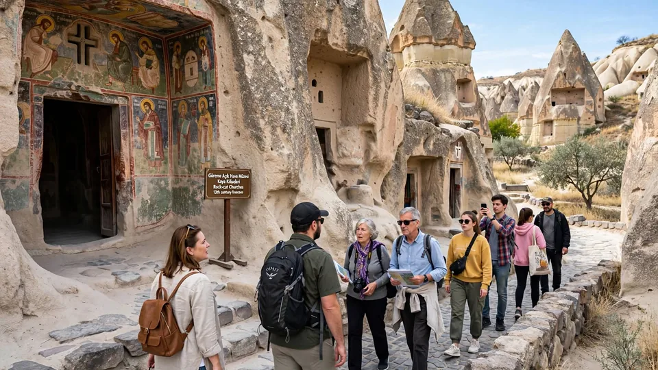
Gomeda–Uzengi, near Mustafapasa, suits repeat visitors looking for quieter scenery, rock-cut spaces, dovecotes and agricultural landscapes away from the busiest central valleys. Transport and trail information are less convenient, so treat it as a half-day commitment rather than an improvised walk.
Independent hiking vs guided hiking
| Independent usually works well when… | Consider a guide when… |
|---|---|
| You have a current offline track | You want to link several valleys |
| The route has a clear town or road finish | The entrance/exit is uncertain |
| Weather and daylight are stable | Winter, mud or storm conditions complicate the route |
| You are comfortable turning back | You want hidden churches, geology or local history explained |
| You have arranged one-way return transport | Your family or mobility needs require a custom pace |
A guide is not necessary simply because a valley exists. Pay for guiding when it adds navigation, interpretation, transport or confidence.
How to reach trailheads and return
Goreme is the easiest all-round hiking base, but not every trail begins beside the town centre. For one-way hikes, the return plan should be made before you start.
- Walk from town: useful for selected Goreme-side entrances and short connections.
- Taxi to the start: saves road walking and energy. Share the exact map pin, not only the valley name.
- Taxi from the finish: agree on a road-accessible pickup point and have a backup if reception is poor.
- Rental car: good for loops, but awkward for point-to-point hikes because the car stays at the start.
- Tour/driver: most useful for Ihlara and remote or multi-valley routes.
How to understand Cappadocia trail difficulty
A simple “easy / moderate / hard” label is not enough. A short trail can feel difficult when the surface is loose or the exit is hard to find.
| Factor | What to check |
|---|---|
| Surface | Loose volcanic gravel, clay, stone steps, mud or ice |
| Steepness | Short scrambles, castle-style climbs, steep valley exits |
| Navigation | Number of junctions, multiple entrances, inconsistent signs |
| Exposure | Open ridges, unprotected edges, strong wind |
| Shade | Limited in Love/Rose/Red; more shade in parts of Ihlara |
| Return transport | Whether the finish has road access, taxis or public transport |
| Daylight | Whether valley walls become dark before the official sunset |
Best time of year and time of day
Spring
Usually mild and green, but rain can turn clay and narrow paths slippery. Check conditions after storms.
Summer
Start early, carry extra water and avoid exposed midday routes. Shade is limited in many central valleys.
Autumn
Excellent for walking and photography. Watch shortening daylight later in the season.
Winter
Beautiful after snow, but ice can hide edges and make shaded slopes unsafe. Choose shorter routes and current local advice.
Morning is the safest default for longer walks because you have more daylight and cooler temperatures. Late afternoon is excellent for Rose/Red sunset only when your exit is simple and you carry a light.
Sunrise vs sunset hiking
Sunrise: Love Valley viewpoints, lower Rose entrances and parts of Cavusin can be beautiful. Keep away from balloon launch and landing operations and never enter a working field for a photograph.
Sunset: Red and Rose Valleys have excellent low light, but valley floors become dark earlier than open ridges. Finish at a known road, viewpoint or pickup point rather than trying a new shortcut after sunset.
Do not hike this route today if…
- heavy rain has just fallen and clay paths are saturated;
- snow or hidden ice affects steep or shaded ground;
- strong wind makes an exposed ridge uncomfortable;
- you are starting a complex route too close to sunset;
- you have no offline map and the entrance is uncertain;
- you have not solved the return transport for a one-way route;
- you do not have enough water for summer conditions;
- your shoes have poor grip on loose volcanic surfaces.
Simple hiking safety
- Download the route and mark the intended exit before leaving the hotel.
- Carry water, sun protection, layers and a charged phone.
- Take a small power bank for longer hikes.
- Carry a headlamp when finishing near sunset.
- Do not enter fenced caves, unstable rooms or dark side tunnels because an old route description mentions them.
- Tell someone your route and expected finish when hiking alone.
- Move away from ATV, horse and balloon ground operations.
- In an emergency in Türkiye, call 112 and share your location as clearly as possible.
What to carry on a Cappadocia hike
- Closed walking shoes with grip
- More water than the shortest route estimate suggests
- Sun protection
- Light layer even after warm afternoons
- Offline map / downloaded route
- Charged phone and power bank
- Small first-aid kit
- Headlamp for late finishes
- Small snack for longer routes
Seasonal cafes and stalls are useful when open, but do not treat them as guaranteed water sources.
Responsible hiking
Cappadocia’s volcanic rock is soft and easily damaged. Stay on durable paths, carry rubbish out, do not carve names into rock and do not touch frescoes. Respect farms, homes, animals and places of worship. Ask before photographing local residents or workers.
When photographing near edges, stop walking before looking through the camera or phone. Dust, crowds and changing light are normal parts of the trail; getting the photo is never worth stepping onto unstable ground.
Cappadocia hiking FAQ
What is the best hike in Cappadocia for a first-time visitor?
Rose and Red Valleys are the strongest all-round choice because they combine scenery, churches, cave spaces and sunset options. Choose a defined short or medium route rather than automatically doing the longest loop.
What is the easiest useful Cappadocia hike?
A short Sword Valley route or a shorter Pigeon Valley section can work well. “Easy” still means uneven natural ground rather than a paved path.
Can I hike Cappadocia without a guide?
Yes. Many central routes can be walked independently with a current offline map, good weather and a clear return plan. A guide is more useful for linked valleys, remote routes, winter conditions or detailed historical interpretation.
Which direction is better for Pigeon Valley?
Uchisar to Goreme generally finishes lower, while Goreme to Uchisar adds a climb at the end but works well if you want lunch or Uchisar Castle afterwards.
Can I hike Love Valley and Pigeon Valley together?
Yes, via White Valley and Uchisar, but that becomes a longer route. Check the current connection and daylight before committing to the full circuit.
Is Ihlara Valley near Goreme?
No. It belongs to a separate southern day and needs a substantial road journey plus a transport plan for the chosen entrance and exit.
Is hiking safe after rain?
Sometimes, but clay and volcanic surfaces can become very slippery. Narrow valleys may also hold water or mud. Choose a shorter route or postpone when conditions are poor.
Can I hike at sunset?
Yes on a route you understand, especially Rose/Red, but carry a headlamp and finish near a known road or pickup point. Do not start a complicated new connection close to dark.
What shoes should I wear?
Closed walking shoes or trail shoes with good grip are more useful than smooth-soled fashion shoes. Loose gravel and clay are common.
Which town is best for hiking?
Goreme is the easiest all-round base for central valleys. Cavusin is especially useful for Rose/Red access, while Uchisar suits Pigeon and parts of Love/White Valley.
Continue with the detailed trail guides
Use this page to choose the hike. Use the detailed trail page when you need route direction, entrances, transport or a longer day plan.
Rose & Red →
Pigeon Valley →
Love Valley →
Ihlara Valley →
All Hiking Guides →
Affiliate disclosure: Some pages on CappadociaReviews.com contain affiliate links. If you book through an eligible link, we may earn a small commission at no extra cost to you. Affiliate availability does not decide our editorial recommendations.
Best Cappadocia Hiking Trails: what matters when you decide
Quick answer: Rose and Red Valleys make a strong first central hike; Pigeon Valley is useful between Goreme and Uchisar; Ihlara needs a separate road journey.
Compare the practical trade-offs
Love Valley viewpoint and Love Valley floor are different destinations, so confirm the trailhead pin.
Plan for the detail most travellers miss
Carry an offline route, water and good shoes, and plan the return before walking down a one-way valley.
Next steps for your trip
Choose the option that fits your time, comfort and transport. Recheck prices, availability and opening details for your travel dates before making a payment. Where an outdoor activity depends on conditions, keep a flexible alternative rather than assuming it will operate.
Helpful next reading: rose valley red valley hike guide; love valley hike cappadocia guide; ihlara valley hiking guide.
Guest reviews for
Real traveller comments are kept separate from our independent hotel review.
Write a traveller review
Your email stays private. Reviews are email-verified and moderated before publication. A “Verified Stay” badge is only added when stay evidence has been checked.